US Army Corp of Engineers Enhanced Commerce & National Sec Through Data-Driven Geospatial Insight
Description
The US Army Corps of Engineers (USACE) is responsible for maintaining and improving nearly 12,000 miles of shallow-draft (9'-14') inland and intracoastal waterways, 13,000 miles of deep-draft (14' and greater) coastal channels, and 400 ports, harbors, and turning basins throughout the United States. Because these components of the national waterway network are considered assets to both US commerce and national security, they must be carefully managed to keep marine traffic operating safely and efficiently. The National DQM Program is tasked with providing USACE a nationally standardized remote monitoring and documentation system across multiple vessel types with timely data access, reporting, dredge certifications, data quality control, and data management. Government systems have often lagged commercial systems in modernization efforts, and the emergence of the cloud and Data Lakehouse Architectures have empowered USACE to successfully move into the modern data era. This session incorporates aspects of these topics: Data Lakehouse Architecture: Delta Lake, platform security and privacy, serverless, administration, data warehouse, Data Lake, Apache Iceberg, Data Mesh GIS: H3, MOS…
Description from YouTube. Full content on the video page.
More from Databricks
 Releases
Databricks launches across the Data + AI stack in 90 seconds
Databricks announced LTAP to unify lakebased and lakehouse data, eliminating ETL and enabling a single copy of data for analytical and operational needs. They also introduced Unity AI Gateway for governance, Genie Ontology for enterprise knowledge graphs, and open-sourced Omniant for managing multiple coding agents.

 Releases
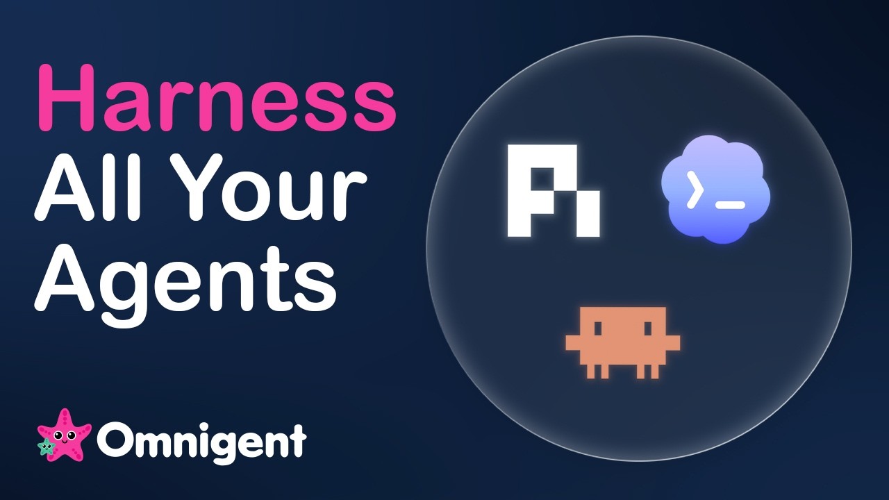
Introducing Omnigent: The Ultimate Meta-Harness for AI Agents
Omnigent is a new open-source meta-harness for AI agents that provides a unified interface for composition, control, and collaboration across multiple models and agent workflows. It enables stateful, data-centric policies for guardrails and allows real-time sharing and steering of live agent sessions with teammates.
 News
NewsHow DEFRA and Natural England Accelerate Peatland Restoration with AI and Databricks
DEFRA and Natural England utilize AI and Databricks to accelerate peatland restoration by automating the mapping of peatland features and peat dams across England. This technology significantly reduces the time required for mapping, enabling faster identification and restoration of these crucial carbon-storing habitats.
 News
NewsAI Stack Explained in 3 Layers (LLM, Agent Harness, Omnigent)
The AI stack now includes a third layer, the meta harness, which sits above individual agent harnesses. This meta harness, exemplified by Databricks' open-sourced Omnigent, allows for routing queries to appropriate agents and orchestrating tasks across multiple agents, enabling seamless interaction and context sharing between them.
 News
NewsWhat’s coming next to Free Edition
Databricks announces the availability of Genie, GPUs, Agent Hooks, Lakehouse, and Lake Flow Designer on its Free Edition. This update provides virtually all of Databricks' production platform features for free, enabling users to learn and build data and AI projects.